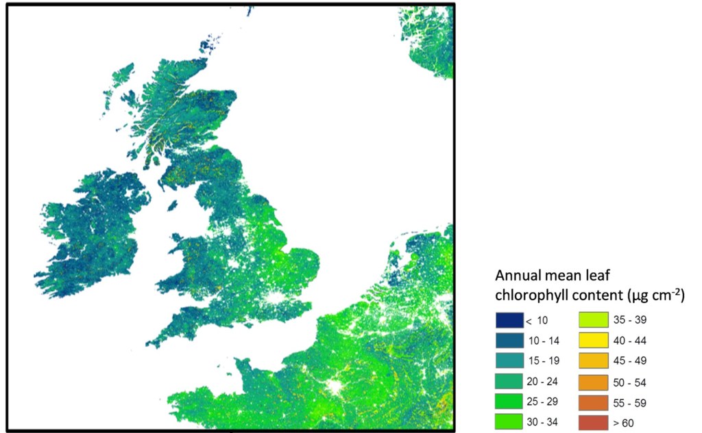
WG3 is focused on modelling plant structural, biochemical and physiological traits and fluxes across croplands and forests from UAV, airborne and satellite data. This scope includes investigating different retrieval algorithms (e.g. radiative transfer models, GPP/ET modelling), new satellite missions (including forthcoming hyperspectral sensors and FLEX) and novel satellite systems such as micro satellites (e.g. PlanetLabs), cloud computing and time-series analysis, to provide useful and accurate information to a range of stakeholders on sustainably managing complex European landscapes (considering for example: natural capital, biodiversity, climate change resilience, incidence of plant disease and pests).

Within the COST Action WG3 has the following specific objectives:
- To develop a validation strategy for priority vegetation products from near-term (upcoming) hyperspectral satellite missions (CHIME, ENMAP; SHALOM, SBG, FLEX) using ground-based or airborne data.
- To foster the use of big data and cloud computing for data fusion, time-series forecasting, and processing of spatiotemporally continuous vegetation products.
- To enhance the strategic aspects of EOS as a standard technology to support climate change, society issues, and ecosystem functions through time series of vegetation phenology, new sensor fusion approaches, and new data processing methods that are more accessible to end-users and policy makers, including the associated meanings and uncertainties of derived products.
There will be a range of focussed tasks throughout the action, including training schools, supporting short-term scientific missions and summer schools:
- A training School on the use of Google Earth Engine and other cloud-based EOS data and processing web platforms. The Training School will take place during GP2.
- STSMs to investigate validation strategies of hyperspectral satellite mission products. These STMs will take place during GP2 and GP3.
- STSMs to support climate change, society issues, ecosystem functions through time series of vegetation phenology. These STMs will take place during GP3 and GP4.
- Joint uncertainty analysis and protocol standardization assessment summer school on novel and operational hyperspectral data products together with WG4.
The deliverables committed to by WG3 include:
- An organized compendium and code GitHub of EU EOS cloud computing resources.
- Standardized protocols for operational EOS hyperspectral data products.
Leader

Kadmiel Maseyk
Vice-leaders
- Holly Croft
- Helge Aasen
Meetings
- 2024-03-04 (virtual) kick-off. Agenda and Menti results
